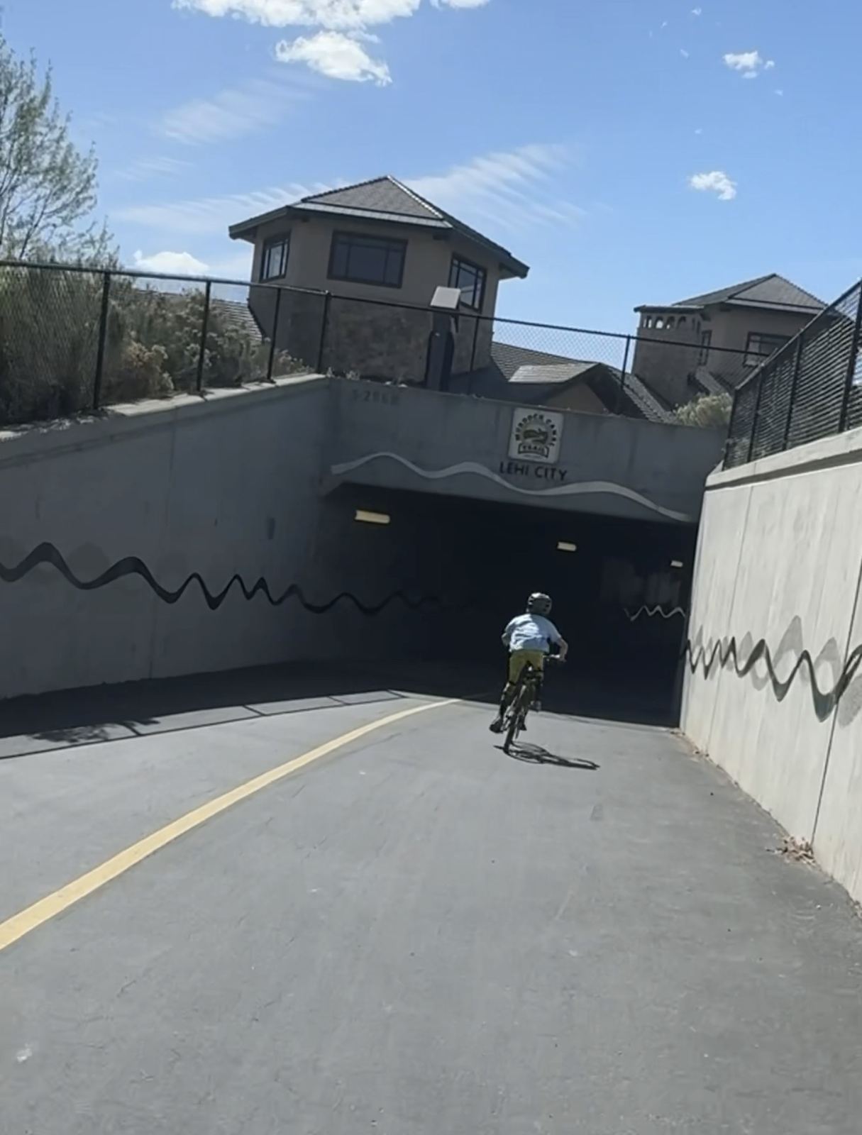
The first thing my son did when we hit the Lehi City underpass was pedal faster. Tunnels do that to kids. They do it to me too, honestly, I just hide it better.
The Murdock Canal Trail is one of my favorite things about living in Utah County. It runs along the bench of the valley from Lehi down to the mouth of Provo Canyon, and if you keep going on the Provo River Parkway you can ride up the canyon toward Bridal Veil Falls. It is great for jogging, biking, and walking dogs. The views are the kind that make you stop pretending you are on a training ride.
Here is what I think you should know before you go.
What the trail actually is
The trail sits on top of the old Murdock Canal, also called the Provo Reservoir Canal. The canal was enclosed in a buried steel pipe about 10.5 feet across, and the paved trail was built on top of it. The pipeline itself runs about 21 miles, and the trail follows most of it. It opened in May 2013.
That history matters for one practical reason: the trail follows the canal's grade along the foothills. So it is mostly gentle, with a few real dips where it drops into and climbs out of drainages. The big one in north Highland near Dry Creek will remind your legs who is in charge.
Quick facts
- Length: about 17 miles of paved trail, from 800 North in Orem to Timpanogos Highway in Lehi. Some trail directories list longer distances, such as 20.8 miles.
- Surface: paved, about 15 feet wide, with an adjacent dirt path for horses.
- South end: Orem, near 1100 East and 800 North, close to the mouth of Provo Canyon.
- North end: Lehi, near Timpanogos Highway (SR 92).
- Markers and amenities: mile markers every quarter mile, and several trailheads have restrooms and water. Seasonal restroom closures are not published, so check with the city before you go.
- Hours: Utah County's trail rules set parkway and trail hours at 5:00 a.m. to 11:00 p.m. When the trail opened in 2013, the announced hours were dawn to dusk. Follow whatever is posted at your trailhead.
- Seasons: the trail is open year-round, and the county said at opening that it would be plowed in winter. Clearing after storms can vary by section.
The seven cities it passes through
Listed south to north, per the Mountainland Association of Governments trail brochure.
- Orem
- Lindon: my Lindon guide
- Pleasant Grove: my Pleasant Grove guide
- Cedar Hills: my Cedar Hills guide
- American Fork: my American Fork guide
- Highland: my Highland guide
- Lehi: my Lehi guide
One thing people get wrong: the Murdock itself does not run through Provo or Alpine. Provo is where you end up if you keep going on the Provo River Parkway, and Alpine is where a lot of the nearby mountain biking lives.
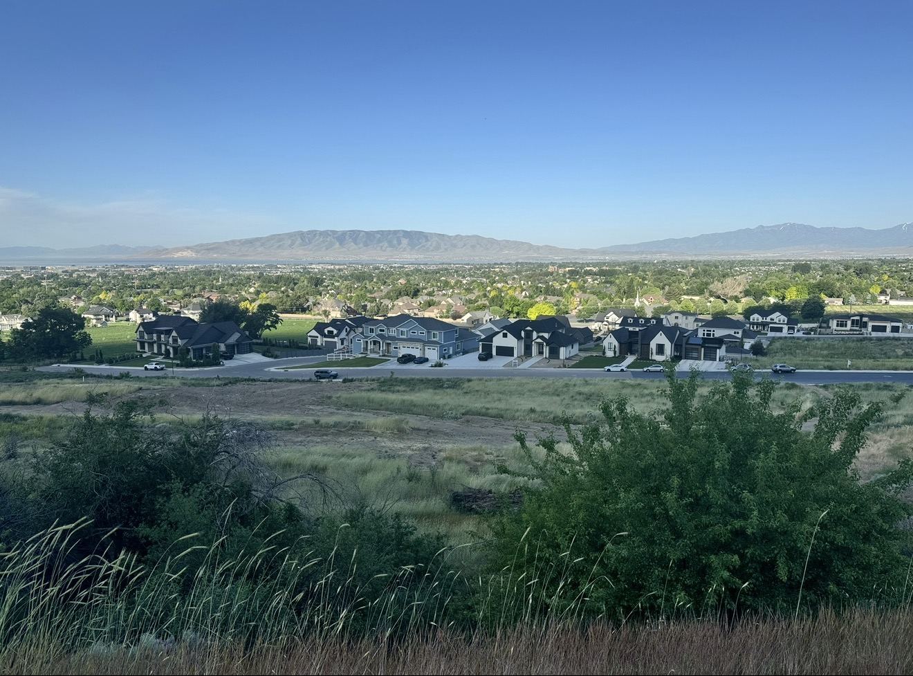
Trailheads with parking
These are the named trailheads in the MAG brochure, south to north. Lots can fill on nice Saturday mornings, so plan on that.
- Orem (south end): there is no trailhead lot at the Orem end. Most people park at the Provo River Parkway trailhead at the canyon mouth on 800 North, a few blocks east, and ride over.
- Lindon View Trailhead: 300 North 780 East, Lindon.
- Wade Spring Trailhead: 1100 North Mahogany Drive, Pleasant Grove.
- Canyon Road Trailhead: at Canyon Road (SR 146) and Canyon Heights, Pleasant Grove. This one is a picnic area with no water.
- Highland Glen Trailhead: 4800 West Knight Avenue, Highland. In my opinion the easiest first visit, with parking, restrooms, drinking fountains, and a park right there.
- Mitchell Hollow Trailhead: 10400 North 6400 West, Highland. The closest start for the Dry Creek bike trails.
- Bull River Road Trailhead: just west of Bull River Road and 1200 West, near Timpanogos Highway (SR 92), Lehi.
The trail also runs through Cedar Hills and American Fork, but the county brochure does not list a named trailhead in either city. If you live there, you probably already know your neighborhood access point.
Where it connects
- Provo River Parkway (south): from the Orem end, head east a short distance along 800 North to pick up the Provo River Parkway. The parkway runs about 15 miles from Utah Lake to Vivian Park in Provo Canyon and passes Bridal Veil Falls. So yes, you can get from Lehi toward Bridal Veil Falls on trail. Just know it is two trails, not one, and the canyon section climbs.
- Heads up on Bridal Veil Falls: Utah County began a two-year trail and parking reconstruction at Bridal Veil Falls after Labor Day 2025, so expect detours or closures there. Check Utah County's notice before you go.
- Jordan River Parkway (north): at the Lehi end, the trail links into the Jordan River Parkway system.
- Historic Utah Southern Rail Trail (Lehi): listed by TrailLink as heading toward downtown Lehi.
- Lindon Heritage Trail (Lindon): listed by TrailLink as running east to west across Lindon.
Dogs, e-bikes, and the rules
I walk dogs on this trail, and so do a lot of people. Here is what the county says.
- Leash: all pets must be on a leash, and owners must clean up after them.
- Speed: 15 mph on county parkways and trails unless posted otherwise.
- Motor vehicles: unauthorized motor vehicles are prohibited.
- Posted basics: keep to the right, slow down at curves, stay on the trail, keep it litter free, and keep dogs on a leash.
- E-bikes: there is no trail-specific e-bike rule from Utah County or MAG. Under Utah law, e-bikes may ride on paths designated for bicycles, but local governments can restrict them, riders must be 16 or older for Class 3, and kids under 14 need a parent or guardian supervising. Follow posted signs.
My own advice on top of the rules: pass on the left, call out or ring a bell before you pass, and wear a helmet. And the 15 mph limit matters. On weekend mornings around Highland Glen and Pleasant Grove, I find myself sharing pavement with strollers, runners with earbuds, dogs on long leashes, and kids wobbling on new bikes. If you want to go fast, go early or go on a weekday.
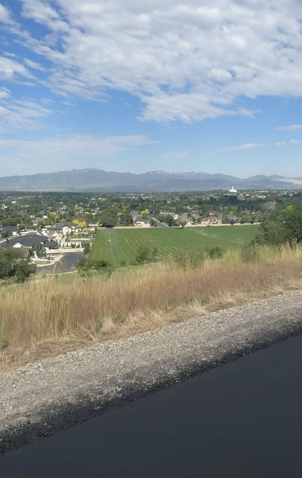
Mountain biking nearby
This is the part I love. The Murdock is paved and easy, but it puts you a few minutes from real dirt.
- Highland Dry Creek trail system (Highland): singletrack in the Dry Creek gulch right off the Murdock in north Highland, built by local volunteers. Trails include Bonzai, Greg's Trail, Adrenaline, Machete, and Shotgun. It is about 0.8 to 0.9 miles from the Mitchell Hollow Trailhead. Easy to upper intermediate.
- Lambert Park (Alpine): a network of singletrack on Alpine city land at the base of East Mountain, with cross country loops, a downhill line near the rodeo grounds, and newer flow trails on the south end. Season is roughly mid March through November.
- American Fork Canyon (Uinta-Wasatch-Cache National Forest): canyon riding east of the trail. It is a Forest Service fee area. Stopping at developed sites like trailheads, picnic areas, campgrounds, and Tibble Fork or Silver Lake Flat reservoirs requires a Uinta-Wasatch-Cache pass: $10 per vehicle for 3 days, $20 for 7 days, or $60 for the year. America the Beautiful passes are honored.
Check trail conditions before you go. Dirt trails get damaged when ridden wet, and riding mud is how trails get ruined.
What will test you
Loving a place honestly means telling the hard parts too.
- Shade is limited. On a July afternoon this trail is hot and exposed. Go early, bring water.
- The dips are real. It is mostly gentle, but a couple of climbs out of drainages will surprise a new rider.
- Crowds. In my experience some stretches get busy on weekends, especially around Pleasant Grove.
- Parking at the Orem end. There is no lot right at the south terminus. Plan for it.
If I were you
Start at Highland Glen the first time. Ride north toward Lehi if you want the tunnels and the dip at Dry Creek, or south toward Pleasant Grove if you want long views. Bring a leash, a bag, and more water than you think. And if you have a kid with you, let them lead into the tunnels. Mine sure did.
Opinions in this post, including favorite trailheads, views, and ride advice, are mine, based on my own rides. Trail rules, hours, access, and amenities can change. Check with Utah County and the individual cities before you go.
Thinking about living near the trail in Lehi, Highland, Pleasant Grove, or anywhere along the bench? I'll show you the neighborhoods that back right up to it.
Sources
- Mountainland Association of Governments, Murdock Canal Trail brochure (PDF): link (page)
- KSL, "Grand opening for Murdock Canal Trail set for May 18" (May 9, 2013): link
- KSL / AP, "Murdock Canal Trail in Provo Canyon opens to public": link
- TrailLink, "Murdock Canal Trail": link
- Utah County, "Parks, Parkways and Trail Rules" (PDF): link
- Utah County Public Works, Parks: link
- Utah County News, Bridal Veil Falls reconstruction notice (Sept. 1, 2025): link
- Utah Code 41-6a-1115.5: link
- Utah Mountain Biking, "Highland Dry Creek Trail System": link
- TrailLink, "Provo River Parkway": link
- Utah Mountain Biking, "Lambert Park": link
- Trailforks, "Flank" (Lambert Park): link
- USDA Forest Service, Uinta-Wasatch-Cache National Forest Passes: link
- UDOT Timpanogos Area, Water Recreation: link